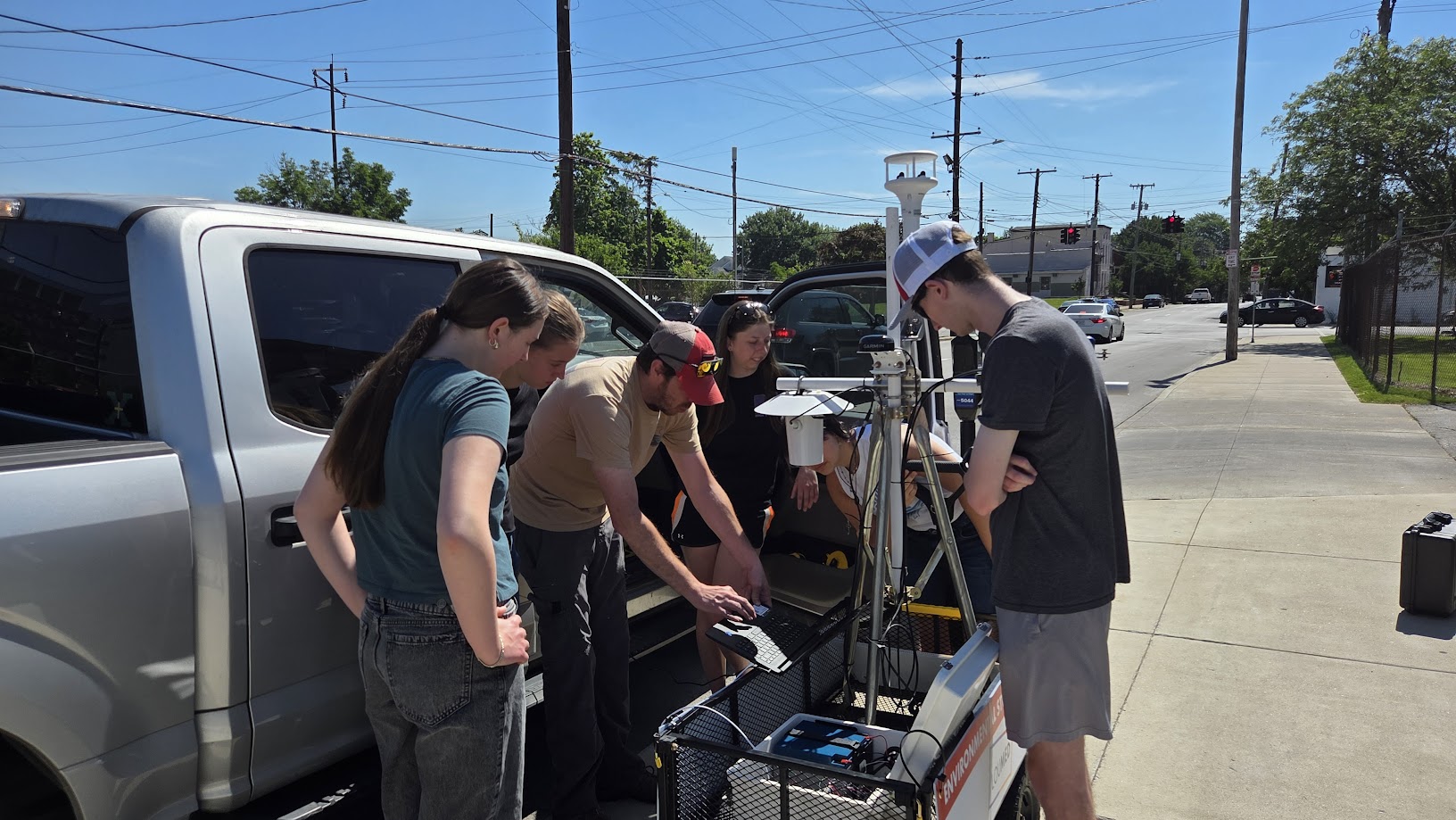
Yesterday, the Urban Design Studio joined the Louisville Downtown Partnership's Placemaking Roundtable for a hands-on exploration of downtown corridors, and a first test of a simple field observation tool we are developing.
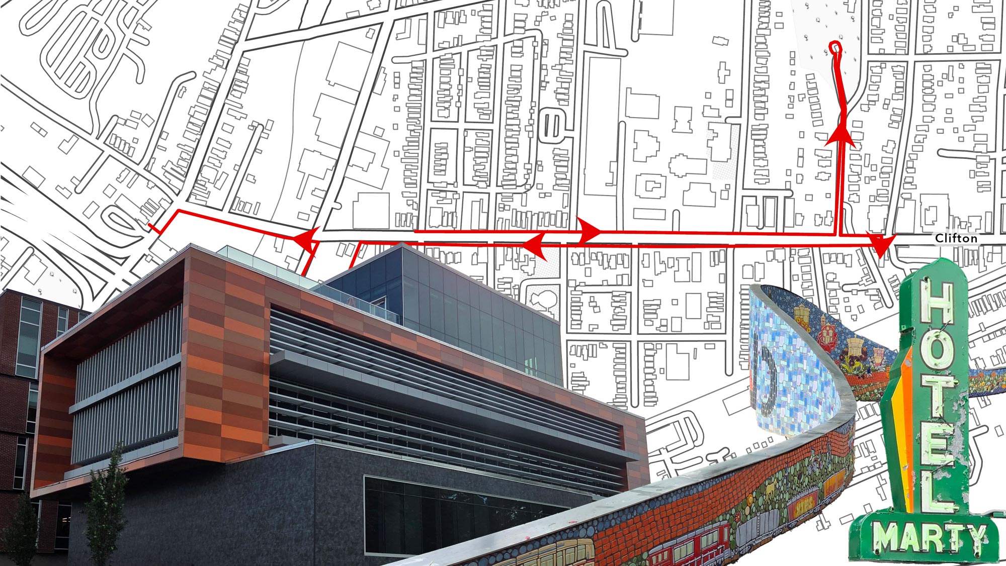
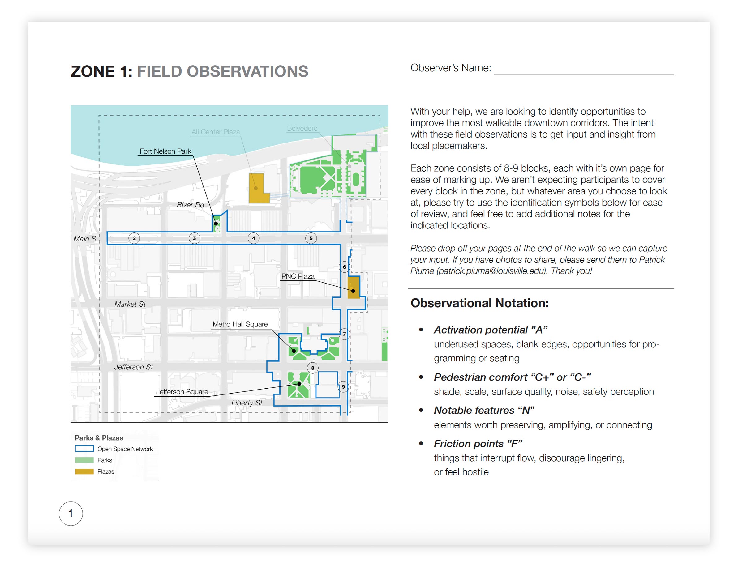
To assist in creating a more walkable and vibrant downtown, we are developing field observation tools that help gather grounded, place-specific input. One tool is a simple series of paper base maps of downtown streets, something participants can carry and annotate while walking. The focus is the Downtown Open Space Network, which we've developed through research to identify the most walkable corridors downtown, with the goal of making those corridors a model for the rest of the city.
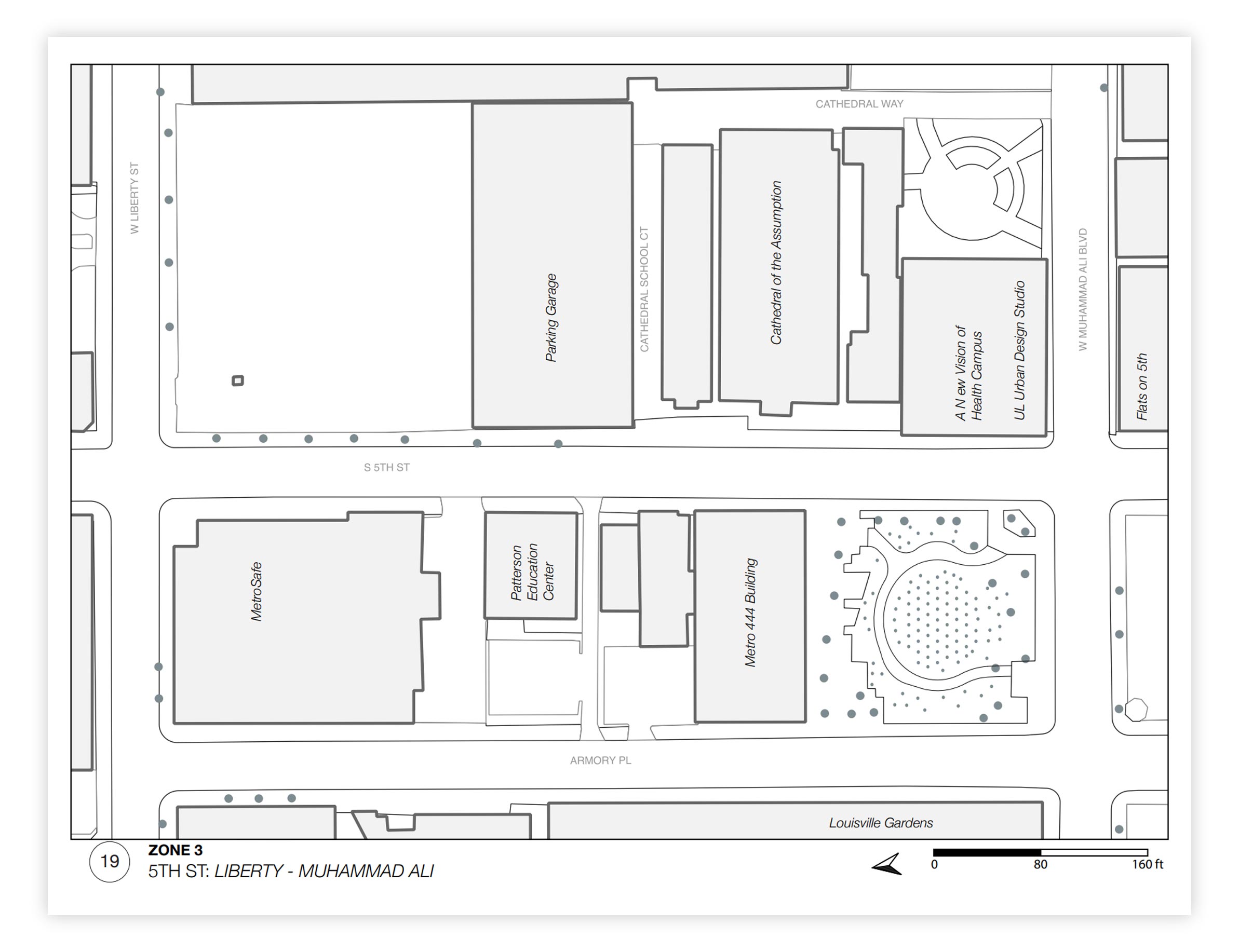
Ten landscape designers, architects and planners broke into small groups and covered three different zones of the Open Space Network, each with a distinct geographic focus:
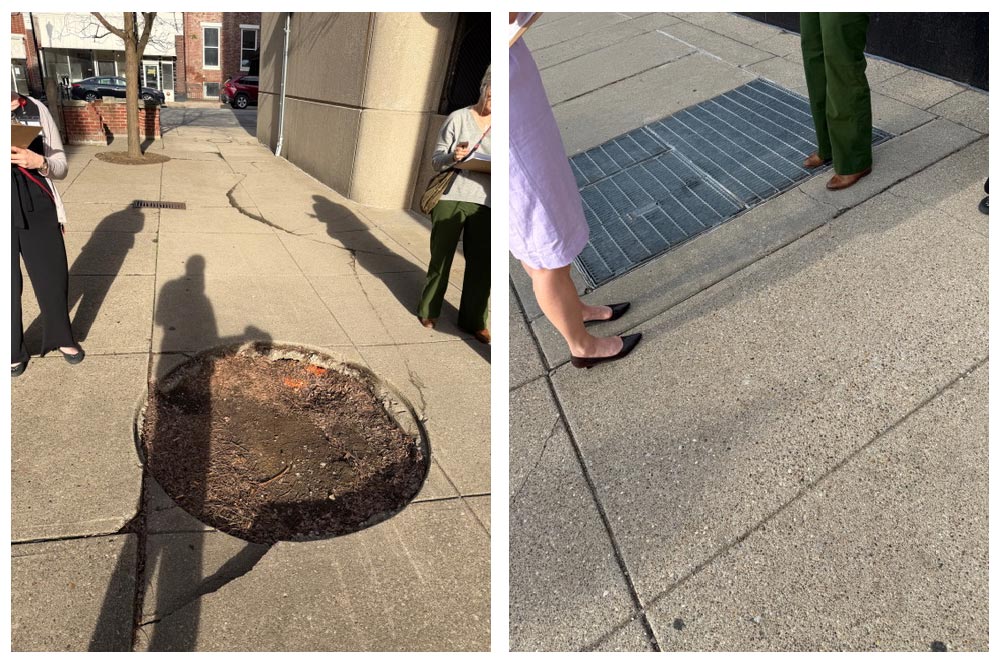
Each group brought a researcher's eye to the streets, looking for:
After about 45 minutes, the groups returned to discussed some of the things that they encountered and some great ideas for ways to improve the areas they visited.
We plan to dive deeper into these ideas in future field notes, as well as the citizen scientists helping collect the important data to inform improvements to the walkability and vibrancy of downtown.
Events like this one are designed to do two things at once: generate real observations that inform our ongoing work, and test the tools themselves. A paper map with prompts is a starting point, but we know it has limitations in how input gets recorded, organized, and shared.
We're interested in making this field observation framework available more broadly to residents, students, community organizations, and partners who want to contribute their own eyes and expertise to the Open Space Network and beyond. That likely means moving toward a digital tool: something purpose-built or adapted from an existing platform that makes it easy to drop a pin, attach a note, and submit an observation from a phone while you're standing in the space.
Have ideas? Want to get involved? We'd like to hear from you.
If you know of tools, platforms, or approaches that could help us collect place-based observations in downtown Louisville, or if you'd like to participate in a future field observation session, reach out to the Urban Design Studio.