The urban heat island is one of the biggest environmental and public health issues facing Louisville. The 2022 Urban Tree Canopy Assessment released by TreesLouisville indicates Louisville’s tree canopy is growing for the first time in decades (by 1%), but the city still has one of the largest urban heat islands in the country. An urban heat island is formed by urban areas when there is a large concentration of impervious surface area, mostly paved areas such as roads and parking lots, with little tree canopy coverage. The impervious surfaces are not covered by shade, so they absorb heat over the day, then release it at night. This greatly increases the average temperature of urban areas.
Working to counteract the urban heat island is vital for a sustainable, healthy city. The urban heat island is only being worsened by climate change, as average temperatures increase before they even reach the urban environment. When they do, the heat island causes an increase in smog and other pollutants, puts extreme stress on some plant species, drives up emissions via A/C use, and so on. This can create a detrimental snowball effect that eventually will start profoundly harming human health.
Increased heat and the problems that incur are associated with increased morbidity. Vulnerable populations, such as the elderly and homeless, are most at risk. Non-deadly health issues also increase greatly: heat stroke, heat exhaustion, respiratory issues, and heat cramps. The increased heat stress greatly limits human activity overall which puts an economic ball-and-chain on the city. Construction may have to stop completely, and outdoor activities that generally improve health and well-being are infeasible.
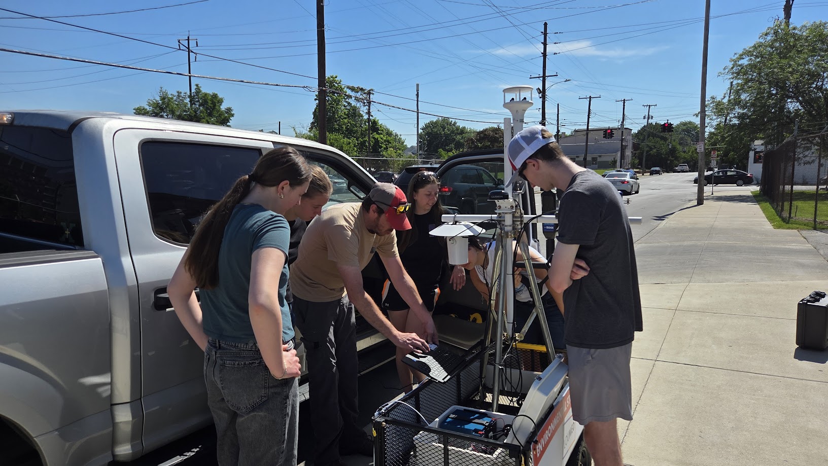
The app below maps heat hotspots in Louisville by creation an impervious/canopy ratio of land cover data in Louisville. A 100x100m fishnet grid was created on top of the city, and the ratio was calculated within each grid cell. Some cells are missing as these areas completely lacked either the canopy or the impervious surface area, such as most of the airport.
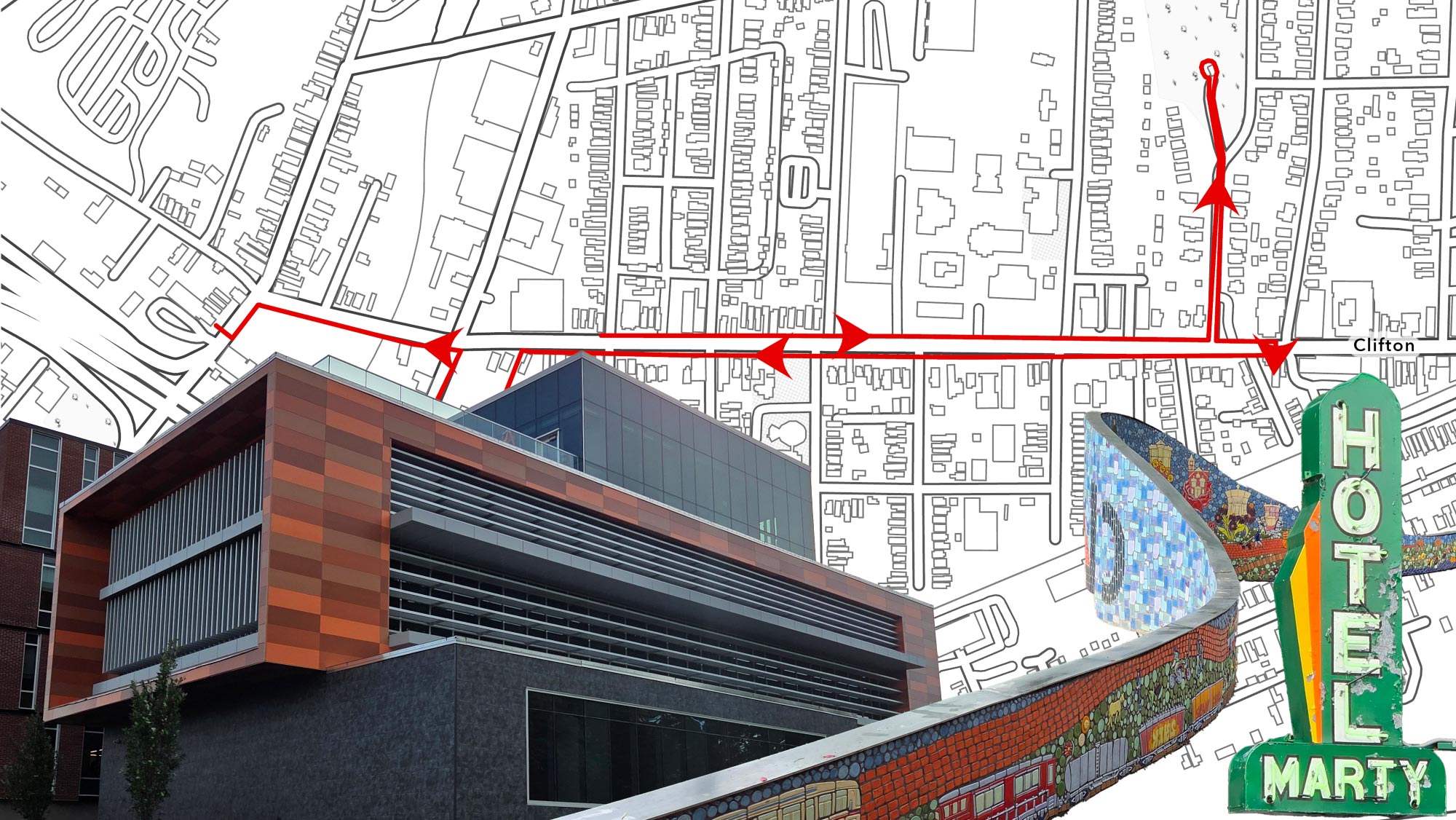
The red areas indicate the biggest hotspots, which tend to be the biggest commercial corridors in the city. You can easily follow along Bardstown Road and Dixie Highway just by following the hotspots. Tree plantings from local organizations such as TreesLouisville, Louisville Grows, and Metro Urban Forestry largely focus on west end neighborhoods where this ratio is the most significant (especially for a residential area); projects like the Trager MicroForest Project are also important, seeking to utilize intense greening to mitigate the effects of the heat island, which will hopefully act as a catalyst for similar projects locally and nation-wide. So a good amount of progress is being made, but accelerating it as quickly as possible is necessary as our current plans may take a century.
The dashboard for the project can be accessed below, or here if you are on a mobile device.