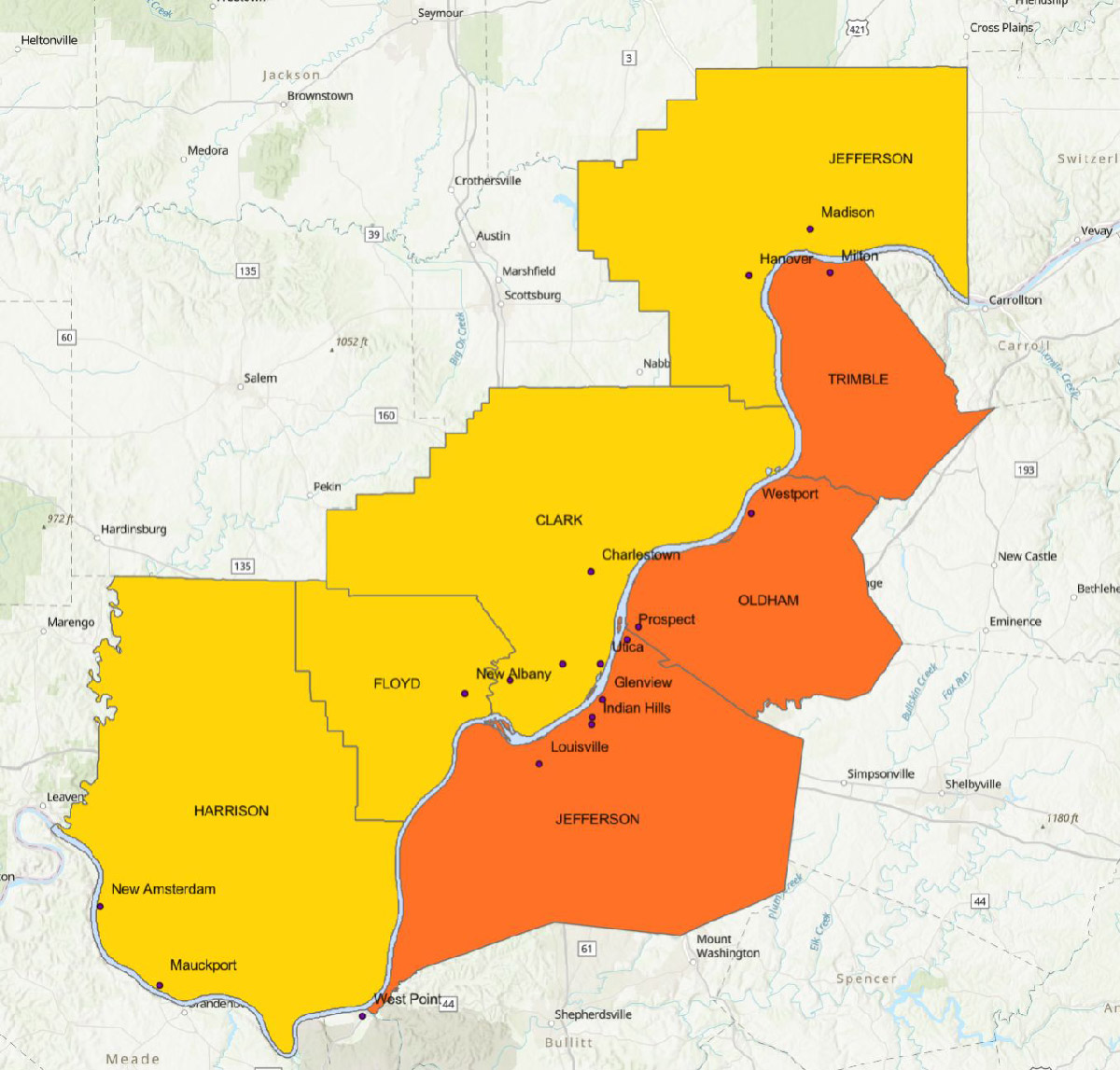
The University of Louisville's Masters of Urban Planning Capstone Studio provided preliminary research and groundwork for an update to the Ohio River Corridor Master Plan that was created in 1996. Though the original plan looked specifically at the 37-miles of coastline adjacent to Louisville and Jefferson County Kentucky, the students are exploring expanding the scope of the plan to include multiple counties that interface with the Ohio River in both Kentucky and Indiana.
The current work includes reviewing what has been accomplished in the 1996 Plan as well as researching best practices of other waterway corridor plans, identifying potential stakeholders for the update and increased geographic scope, related and relevant plans and efforts along the corridor and more.
Download the report below.